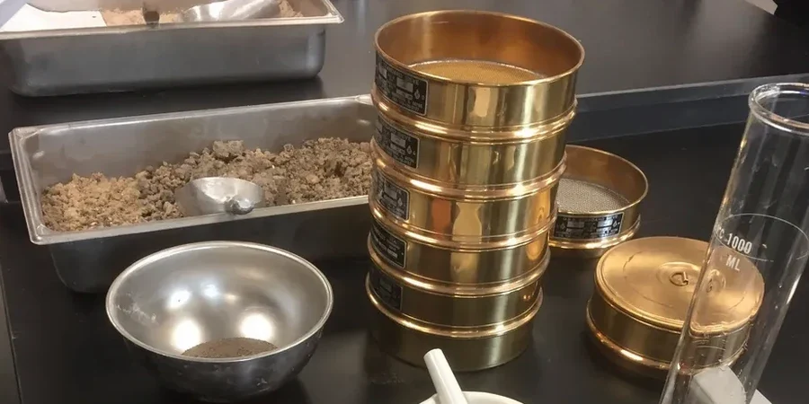
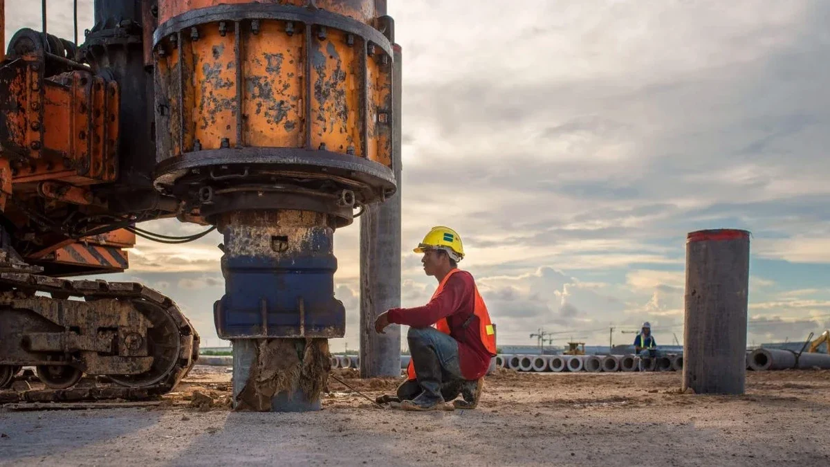
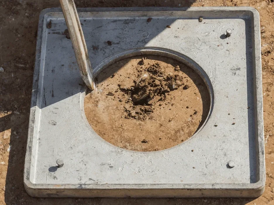
The dynamic cone penetrometer drives through Cheltenham's superficial deposits, recording tip resistance every 20 centimetres—raw data that feeds directly into liquefaction potential calculations. Our technical team deploys this equipment across the town's variable geology, from the Charmouth Mudstone Formation outcrops near Leckhampton Hill to the alluvial silts underlying the River Chelt floodplain. The 2021 Gloucestershire Strategic Flood Risk Assessment mapped significant thicknesses of Quaternary sands and gravels within the town centre, materials that demand careful evaluation under seismic loading. We pair in-situ penetration testing with laboratory cyclic triaxial systems to determine the cyclic resistance ratio (CRR) for each stratum, comparing it against the seismic demand (CSR) derived from the UK National Annex to BS EN 1998-1:2004. The town's position at latitude 51.90°N, on the seismically quiet western margin of the European craton, does not eliminate risk—intraplate events like the 2008 Market Rasen earthquake (M5.2) remind us that British soils can and do liquefy when saturated granular layers meet the right ground motion.
Liquefaction in the UK is a low-probability, high-consequence hazard: our analysis quantifies the residual strength of Cheltenham's sands after pore pressure equalises.