GEOTECHNICAL ENGINEERING1
CHELTENHAM
HomeGeophysicsSeismic tomography (refraction/reflection)

Seismic Tomography (Refraction/Reflection) for Site Investigation in Cheltenham

Knowledgeable. Thorough. Resourceful.

LEARN MORE

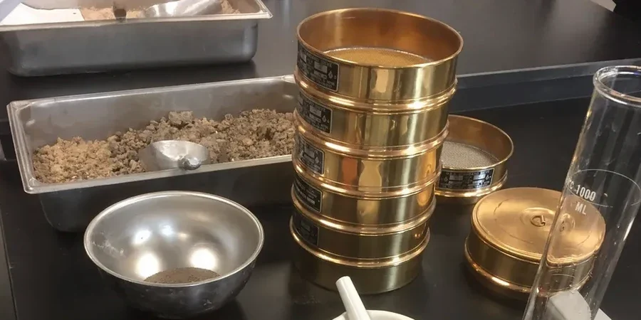
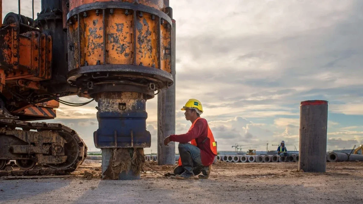
The steep Cotswold scarp west of Cheltenham, underlain by the Inferior Oolite Group, presents a classic geophysical challenge: rapid lateral transitions from competent limestone to deeply weathered, clay-filled dissolution features. Seismic tomography cuts through this ambiguity. Where a standard borehole log shows only a point condition, our P-wave and S-wave velocity sections map the true geometry of buried pinnacles, solution pipes, and fracture corridors extending beneath the Cheltenham Sand Member. Combining seismic refraction for shallow bedrock profiling with tomographic inversion of reflection data gives engineers a continuous ground model across the site, not just at grid intersections. This matters in Cheltenham, where historic landslips on the Charmouth Mudstone Formation and variable Head deposits over Middle Lias clays demand a dataset that captures the subsurface in three dimensions before excavation or piling design begins.

A velocity inversion below 1,200 metres per second in the Inferior Oolite typically indicates a clay-filled dissolution pipe, not just weathered rock—critical for foundation design.

Our service areas

Process and scope

Field acquisition for a Cheltenham survey typically deploys a 48-channel Geometrics Geode seismograph with 14 Hz vertical geophones at a 2-metre spacing, giving a 94-metre spread length that resolves features to roughly 15 metres depth on refraction and over 40 metres with reflection processing. Energy is generated by a tracked weight-drop source on paved sites or a 12-gauge Buffalo gun on greenfield terrain, stacking 3 to 5 blows per shot point to suppress cultural noise from the A40 corridor and railway lines. The real diagnostic power lies in turning-ray tomography: instead of assuming planar layers, we invert first-break traveltimes through a gridded velocity model, revealing low-velocity zones that correlate with mud-filled cavities or softened clay bands within the Birdlip Limestone. For deeper targets, high-resolution reflection processing with CMP binning and NMO correction images sub-horizontal bedding planes and fault offsets that control groundwater pathways. This dual refraction-reflection approach, executed under BS 5930:2015+A1:2020 procedures, gives the geotechnical team both a continuous rippability map and a structural section for assessing slope stability in areas where the slope stability risk is governed by hidden joints dipping out of the escarpment face.
Seismic Tomography (Refraction/Reflection) for Site Investigation in Cheltenham
Technical reference — Cheltenham

Site-specific factors

Cheltenham sits at roughly 60 metres AOD on the Severn Vale side, but climbs to over 300 metres on Cleeve Hill within a few kilometres. This topographic gradient drives active groundwater flow through the Oolite aquifer, and with it, ongoing dissolution. The Borough Council's planning records document several instances where conventional site investigation missed isolated dissolution pipes later encountered during piling, requiring costly redesign and delay. Karst hazards are not theoretical here. Elastic moduli derived from tomographic velocities feed directly into settlement calculations, but the real value is avoiding the worst-case scenario: a pile toe bearing on a thin limestone bridge over a mud-filled void. Our tomographic sections, calibrated against rotary-cored boreholes, reduce this risk by imaging the rock mass between control points. For engineers working on multi-storey developments near the town centre or on the Battledown ridge, integrating seismic tomography with targeted test pits at anomaly locations provides the physical verification that a desk study alone cannot deliver.

Need a geotechnical assessment?

Reply within 24h.

Email: contact@geotechnical-engineering1.com

Applicable standards

BS 5930:2015+A1:2020 – Code of practice for ground investigations, BS EN 1997-2:2007 (Eurocode 7) – Ground investigation and testing, BS EN ISO 22475-1:2021 – Geotechnical investigation and testing – Sampling methods and groundwater measurements, ASTM D5777-18 – Standard Guide for Using the Seismic Refraction Method (referenced where UK guidance is silent on processing workflows)

Typical values

ParameterTypical value
Seismic sourceWeight-drop (tracked) or 12-gauge Buffalo gun; 3–5 stacks per shot
Recording system48-channel Geometrics Geode, 24-bit A/D, 0.125 ms sampling
Geophone frequency14 Hz vertical component, 2 m spacing typical
Maximum investigation depth (refraction)15–25 m depending on spread length and velocity gradient
Maximum investigation depth (reflection)40–60 m with CMP fold > 12
Tomographic inversion methodTurning-ray traveltime tomography with gradient-based iterative optimisation
Velocity range mapped300 m/s (soft clay/Head) to > 3,500 m/s (fresh limestone)
Applicable standardBS 5930:2015+A1:2020, Eurocode 7 (BS EN 1997-2:2007)

Frequently asked questions

What depth of investigation can seismic tomography achieve in the Cotswold limestone around Cheltenham?

With a 94-metre refraction spread and a weight-drop source, we routinely image to 15–20 metres in competent Birdlip Limestone. Reflection profiling with higher fold CMP gathers extends useful signal to 40–60 metres, depending on the acoustic contrast at the target horizon. Depths are validated against borehole control and reported in accordance with BS 5930:2015+A1:2020.

How does seismic tomography identify dissolution features that a borehole might miss?

A borehole provides a single vertical profile. Seismic tomography measures velocity across a continuous 2D section between shot and receiver positions. Clay-filled dissolution pipes in the Inferior Oolite produce velocity lows below 1,200 m/s that stand out clearly against surrounding limestone at 2,500–3,500 m/s. This lateral continuity catches features between borehole locations that would otherwise remain undetected until excavation.

What is the typical cost for a seismic tomography survey in Cheltenham?

A single refraction tomography line with 48 channels, including mobilisation to Cheltenham, data acquisition, tomographic inversion, and a reporting package with interpreted cross-sections, generally falls in the range of £1,890 to £4,590 depending on line length, number of shot points, and whether reflection processing is added. Multi-line surveys with cross-hole or downhole calibration are quoted on a project-specific basis.

Can you acquire seismic data on busy urban sites near Cheltenham town centre?

Yes. We use a tracked weight-drop source that produces minimal surface disturbance and can operate on asphalt or compacted hardstanding. Stacking multiple shots per station suppresses traffic noise from nearby roads, and scheduling acquisition during quieter periods—early morning or Sunday—further improves signal-to-noise ratio. For sites with extreme ambient noise, a Buffalo gun source provides higher energy output while remaining safe in urban settings.

How do you calibrate seismic velocities to engineering properties for foundation design?

Tomographic P-wave and S-wave velocities are converted to dynamic elastic moduli (Ed, Gd, Poisson's ratio) and correlated with rock quality designation (RQD) and unconfined compressive strength (UCS) from rotary core samples taken at key anomaly locations. The empirical relationships are site-specific, developed from cross-plots of velocity versus laboratory test data, and reported with confidence intervals so the structural engineer can apply appropriate factors in accordance with Eurocode 7 design principles.

Location and service area

We serve projects in Cheltenham and surrounding areas.

View larger map