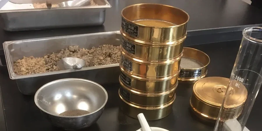
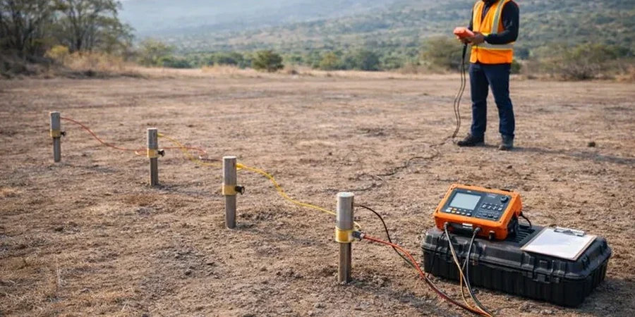
A site investigation just off the A40 near Cheltenham Spa station hit a peculiar problem: the borehole logs showed competent limestone, but five metres away, the ground was saturated clay. The developer could not reconcile the data. We rolled out the VES array across the profile and within two hours the picture sharpened. A buried paleochannel, invisible from the surface, cut diagonally across the plot. In Cheltenham, where the Lower Lias Clay, sand and gravel lenses, and Inferior Oolite limestone stack up in unpredictable sequences, relying on point data alone is asking for trouble. Electrical resistivity surveys fill the gaps between boreholes, revealing lateral changes in ground conditions before excavation starts. We have applied this technique on sites from Charlton Kings to Hatherley, and the results consistently prevent surprises during earthworks. Combining resistivity data with targeted CPT testing gives a much stronger conceptual ground model than either method alone.
Resistivity data turns a handful of borehole logs into a continuous subsurface model: essential where the Cotswolds meet the Severn Vale.